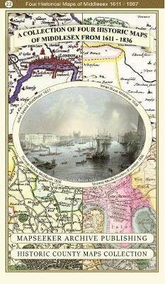
A Middlesex 1611 – 1836 – Fold Up Map that features a collection of Four Historic Maps, John Speed’s County Map 1611, Johan Blaeu’s County Map of 1648, Thomas Moules County Map of 1836 and a Map of the Environs of London 1836. - Historic Counties Maps Col (2019) Mapseeker Publishing Ltd. Paperback Book CA$ 34.49
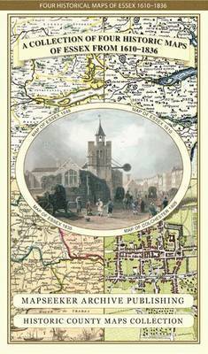
Essex 1610 - 1836 - Fold Up Map that features a collection of Four Historic Maps, John Speed's County Map 1610, Johan Blaeu's County Map of 1648, Thomas Moules County Map of 1836 and a Plan of Colchester 1805 by Cole and Roper. - Historic Counties Maps Co (2014) Mapseeker Publishing Ltd. Map CA$ 34.49
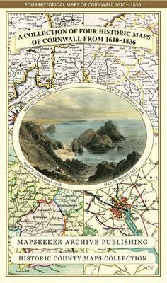
Cornwall 1611 - 1836 - Fold Up Map that features a collection of Four Historic Maps, John Speed's County Map 1611, Johan Blaeu's County Map of 1648, Thomas Moules County Map of 1836 and Robert Dawson's Reform Act Plan of Truro 1831. The maps are surrounde (2014) Mapseeker Publishing Ltd. Map CA$ 34.49
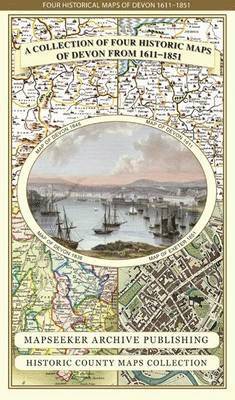
Devon 1611 - 1836 - Fold Up Map that features a collection of Four Historic Maps, John Speed's County Map 1611, Johan Blaeu's County Map of 1648, Thomas Moules County Map of 1836 and a Plan of Exeter 1851 by John Tallis. - Historic Counties Maps Collectio (2014) Mapseeker Publishing Ltd. Map CA$ 34.49
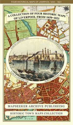
Liverpool 1650 to 1821 - Fold Up Map Containing Town Plans of Liverpool that include Liverpool 1650, 1725, 1795 and Sherwood's plan of Liverpool and Environs 1821 - Liverpool Historic Maps Collection (2014) Mapseeker Publishing Ltd. Map CA$ 34.49
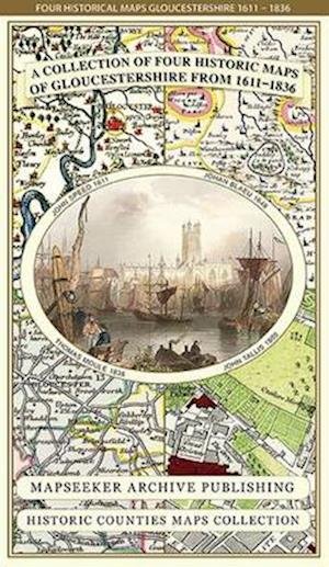
Gloucestershire 1611 - 1836 - Fold Up Map that features a collection of Four Historic Maps, John Speed's County Map 1611, Johan Blaeu's County Map of 1648, Thomas Moules County Map of 1836 and a Plan of Gloucester 1805 by Cole and Roper. The maps also fea (2014) Mapseeker Publishing Ltd. Map CA$ 34.49
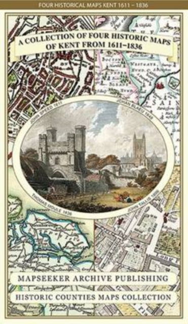
Kent County 1611 - 1836 - Fold Up Map that features a collection of Four Historic Maps, John Speed's County Map 1611, Johan Blaeu's County Map of 1648, Thomas Moules County Map of 1836 and a Plan of Canterbury 1806 by Cole and Roper. - Historic Counties M (2014) Mapseeker Publishing Ltd. Map CA$ 34.49
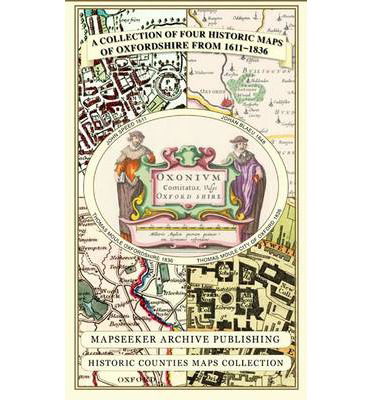
A Oxfordshire 1611 - 1836 - Fold Up Map that features a collection of Four Historic Maps, John Speed's County Map 1611, Johan Blaeu's County Map of 1648, Thomas Moules County Map of 1836 and a Plan of Oxford 1836 by Thomas Moule. The maps also feature a n (2013) Mapseeker Publishing Ltd. Map CA$ 34.49
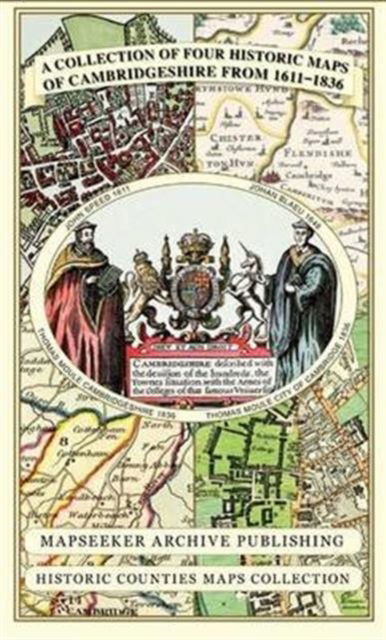
Cambridgeshire 1611 - 1836 - Fold Up Map that includes Four Historic Maps of Cambridgeshire, John Speed's County Map of 1611, Johan Blaeu's County Map of 1648, Thomas Moule's County Map of 1836 and Thomas Moule's Plan of Cambridge City 1836 - Historic Cou (2013) Mapseeker Publishing Ltd. Map CA$ 34.49
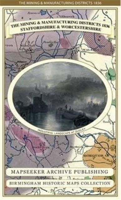
The Mining & Manufacturing Districts 1836 Staffordshire and Worcestershire - Birmingham Historic Maps Collection (2013) Mapseeker Publishing Ltd. Map CA$ 34.49